From a fishing reel modem to the "Docker of Reality"
A solopreneur journey building AI-first spatial infrastructure—for now. Bootstrapped. Genuine. Looking for others who want to ensure Australia leads the autonomous geospatial future.

GIS Strategist turned AI infrastructure builder. Perth, Western Australia.
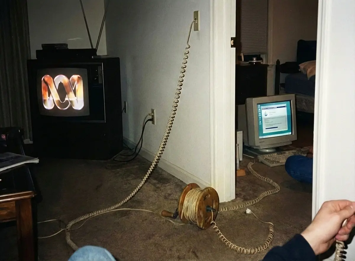
"We lived at the bottom of a hill. The terrain killed the TV reception, so while everyone else was watching Saturday morning cartoons, I was stuck with whatever the ABC was serving up.
Getting online, when the World Wide Web came about had its own whole ritual. We'd roll out the modem cable from a repurposed fishing reel, plug it in, taking over the phoneline for the foreseeable future and suddenly… you were connected to the world."
That friction shaped how I understood technology from an early age—I understood the role Geography played in controlling 'Information' access. I built a career at the intersection of technology and geography, helping translate components of location and place into actionable decisions. Fighting geography made me fall in love with it. Six months ago, I left a stable career to fight that friction again. This time, for an entire industry.
Bachelor in Aquatic Science (Coastal Zone Management), then Graduate Diploma in GIS from Curtin. Learning to see the world through data.
Bachelor in Aquatic Science (Coastal Zone Management), then Graduate Diploma in GIS from Curtin. Learning to see the world through data.
Senior Data Analyst. Emergency response during bushfires. Moved the org off static PDFs to their first web mapping platform as part of a fantastic team. The "why can't this be faster?" seeds were planted.
Senior Data Analyst. Emergency response during bushfires. Moved the org off static PDFs to their first web mapping platform as part of a fantastic team. The "why can't this be faster?" seeds were planted.
Client Success Lead for Utilities & Resources. Managed multi-million delivery portfolio. Sat across the table from WA's major infrastructure decision-makers. Learned what works at scale—and what doesn't.
Client Success Lead for Utilities & Resources. Managed multi-million delivery portfolio. Sat across the table from WA's major infrastructure decision-makers. Learned what works at scale—and what doesn't.
GIS Strategist. Laid the operational groundwork then authored enterprise GIS strategy for 2.3M km² operational footprint. Championed cloud-native, automation-ready workflows. Saw the convergence coming.
GIS Strategist. Laid the operational groundwork then authored enterprise GIS strategy for 2.3M km² operational footprint. Championed cloud-native, automation-ready workflows. Saw the convergence coming.
Left the safety of salary. Bootstrapped. Building AI-first spatial infrastructure. The financial runway is shorter than anyone would like—but the vision has never been clearer.
Left the safety of salary. Bootstrapped. Building AI-first spatial infrastructure. The financial runway is shorter than anyone would like—but the vision has never been clearer.
GIS is shifting from human-centric to machine-centric. Our job is to ensure humans remain the conductor.
We are at a convergence point where Geospatial, AI, and Data are colliding at a rate beyond our wildest dreams. The future will look nothing like today. If we don't move, we get left behind.
But "moving" doesn't mean replacing humans with machines. It means freeing humans to do the work that actually matters—strategy, judgment, creativity—while agents handle the typing, configuration, and routine geoprocessing that currently consumes 80% of our time.
I'm building the infrastructure to make that future possible, starting from Western Australia.
Applied AI for GIS
"Stop doing. Start architecting."
Master Claude Code and AI coding agents for geospatial work. A powerhouse program to stop manual GIS workflows and start designing reasoning systems.
VibeGIS
"Code at the speed of thought."
AI-powered ArcGIS Experience Builder widget generator. Build Web GIS apps in minutes, not months. Show what's possible when you vibe with your code.
Spatial.Properties
"The Docker of Reality."
Pre-compiled, AI-ready spatial context. Turn heavy static maps into signed, cacheable, queryable packs. The infrastructure autonomous systems actually need.
Bootstrapped & Growing
No VC runway. No corporate safety net. Solopreneur today, but building something that needs a team. Every decision is made with skin in the game—and an eye toward the collaborators who'll help scale it.
Genuine & Direct
GeoPunk energy. Anti-establishment stance toward industry monopolies. No corporate speak. If something's not ready, we'll say so. If something's brilliant, we'll show you.
Open Standards First
GeoParquet. PMTiles. COG. STAC. No vendor lock-in. No proprietary formats. We build on what the community has proven works—and contribute back.
Australia Forward
Starting from Perth, scaling to the nation, then the world. Ensuring our specialists are at the forefront of what comes next. The convergence is global—but leadership can come from anywhere.
It takes a team.
Right now it's just me. But building the infrastructure for an autonomous geospatial future isn't a solo job. After nearly 20 years sitting across the table from WA's best, I'm looking for collaborators, early customers, and believers who want to shape what comes next.